Amatikulu Trail Run 2026
Available Races
5km Short Course
10km Medium Course
19km Long Course
Event shop
KZNTR Merch - pre-ordered garments will be available for collection at events as soon as they are available.
Visit full store
About Amatikulu Trail Run 2026
Discover one of KwaZulu-Natal’s most unique trail running experiences at Amatikulu Trails, where every route begins and ends at the Hatchery. Once a working prawn farm, this laid-back lagoon-side retreat has been transformed into a distinctive getaway, offering rustic accommodation and camping beneath the coastal canopy.
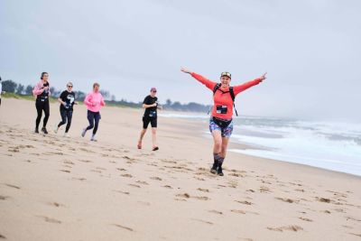
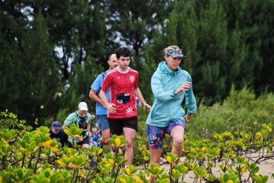
The adventure starts with a boat crossing over the Amatikulu Estuary into the Amatikulu Nature Reserve, immediately setting this event apart from any other on the calendar. From there, the trails wind through open coastal grasslands and pockets of indigenous vegetation, with the chance of encountering zebra, giraffe, various antelope species, and an abundance of birdlife along the way.
After crossing back by boat, there’s plenty of time to relax, soak up the peaceful surroundings, and enjoy the unique atmosphere that makes Amatikulu Trails such a memorable destination for both runners and their supporters.