Trail Running
by KZN Trail Running
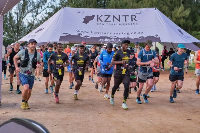
Ingeli Mountain Marathon 2026
Sat 25 Jul 2026
Kokstad, KwaZulu-Natal
4 races
6–40 km
Date
25 Jul 2026
Registration
Closed
Races
4 races
from R150
Available Races
Short Course
6km
Starts 07:45
R149.99
Distance
6.18 km
Elevation gain
274 m
Elevation loss
274 m
Medium Course
10km
Starts 07:30
R250.00
Distance
10.32 km
Elevation gain
461 m
Elevation loss
461 m
Long Course
20km
Starts 07:00
R590.00
Distance
19.67 km
Elevation gain
899 m
Elevation loss
899 m
Marathon Course
40km
Starts 06:00
R1,089.99
Distance
40.2 km
Elevation gain
1,937 m
Elevation loss
1,937 m
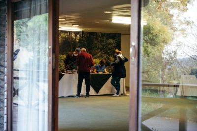
Event shop
Gear from the organiser — collect at registration or ship to you.
Visit full store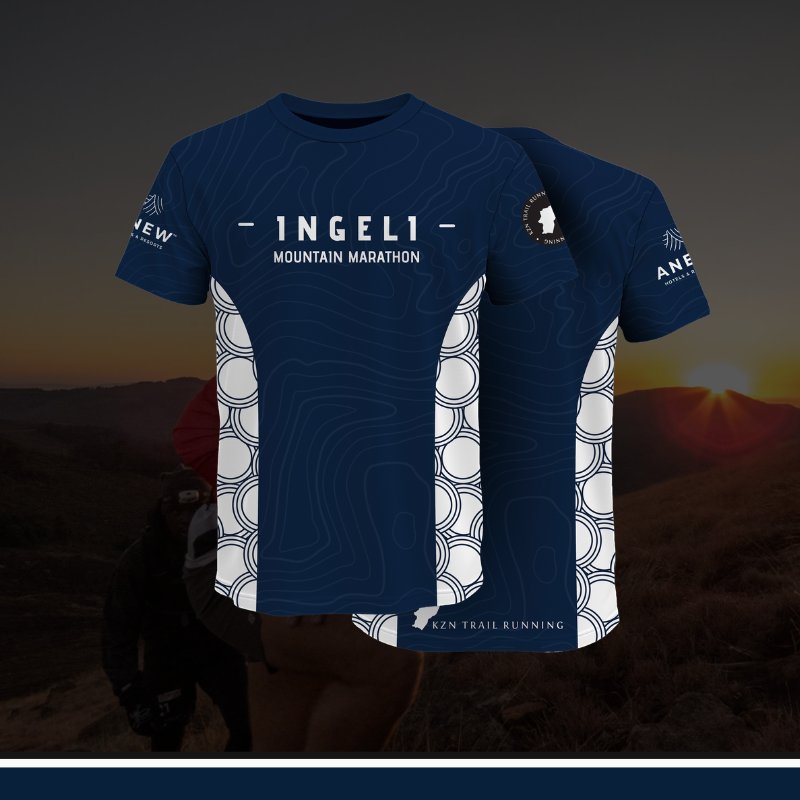
Register for an event to select your products.
About this event
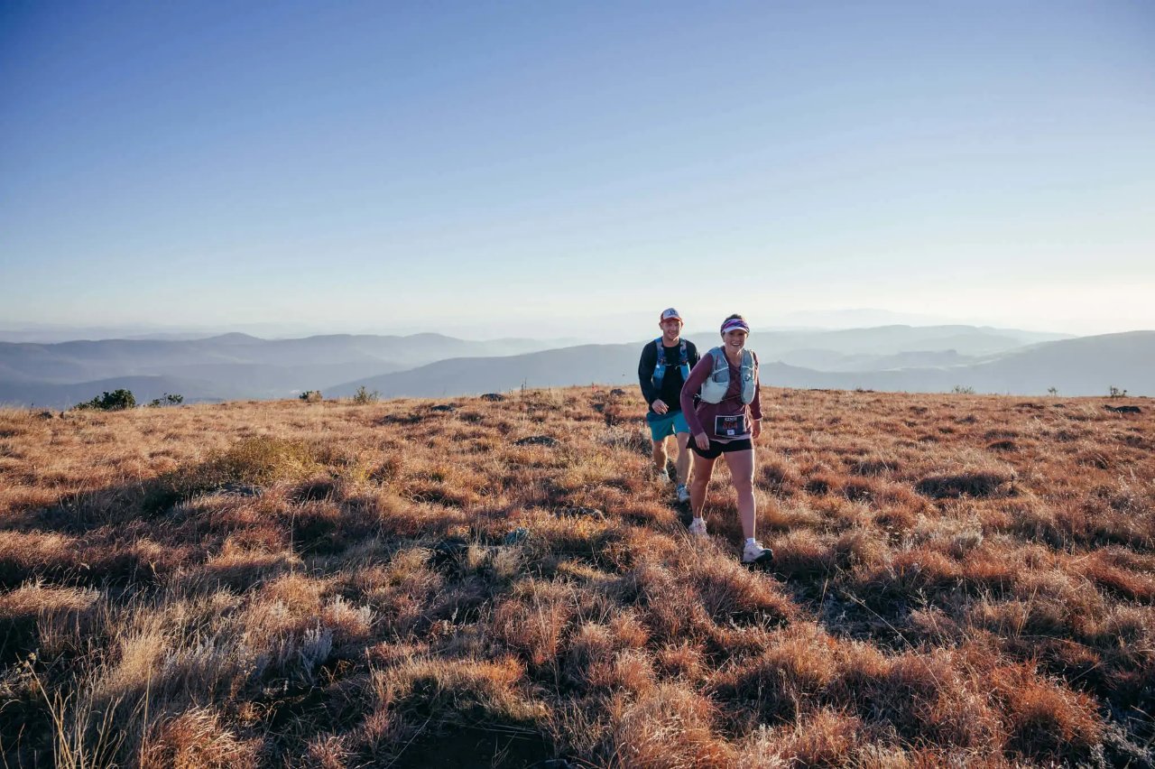
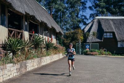
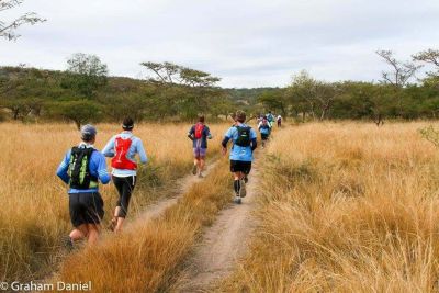
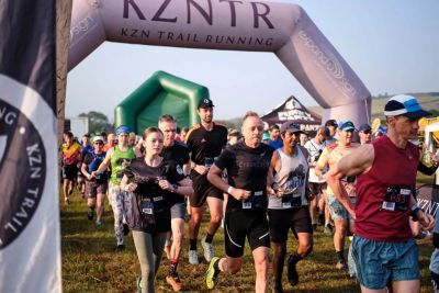
Set along the border of KwaZulu-Natal and the Eastern Cape, the Ingeli Trail Run delivers a course that is as demanding as it is rewarding. Runners wind through flowing forest singletrack, grind up rugged mountain climbs, cruise along dirt jeep tracks, and stride across open grassy stretches. A previous winner called it “grueling” — a fitting description for the relentless ascents and quad-burning descents that define the day.
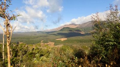
The route is crafted to highlight the very best of the region’s scenery, guiding runners through wetlands, across trickling streams, beneath tranquil forest canopies, and onto sweeping panoramic ridgelines. Athletes summit one of the highest points on Ingeli Mountain, accumulating an impressive 1,997m of elevation gain over 40km. Confident climbing legs and controlled descending skills aren’t just helpful — they’re essential for taking on this formidable challenge.
The route is crafted to highlight the very best of the region’s scenery, guiding runners through wetlands, across trickling streams, beneath tranquil forest canopies, and onto sweeping panoramic ridgelines. Athletes summit one of the highest points on Ingeli Mountain, accumulating an impressive 1,997m of elevation gain over 40km. Confident climbing legs and controlled descending skills aren’t just helpful — they’re essential for taking on this formidable challenge.
You might also like
Back to all events
Map data © OpenStreetMap contributors
• Tiles © OpenMapTiles
• Style © OpenFreeMap
• Map engine © MapLibre