Trail Running
by KZN Trail Running
Valley View Trail Run 2026
Part of the Valley View series
Sun 19 Apr 2026
Umkomaas, KwaZulu-Natal
3 races
6–20 km
Date
19 Apr 2026
Registration
Closed
Races
3 races
from R135
Available Races
Short Course
6km
R135.00
Distance
6.13 km
Elevation gain
171 m
Elevation loss
172 m
Medium Course
14km
R195.00
Distance
14.04 km
Elevation gain
504 m
Elevation loss
504 m
Long Course
20km
R230.00
Distance
20.18 km
Elevation gain
616 m
Elevation loss
616 m
Event shop
Gear from the organiser — collect at registration or ship to you.
Visit full storeValley View Self-Camping (Saturday Night, per person)
R50.00
Register for an event to select your products.
About this event
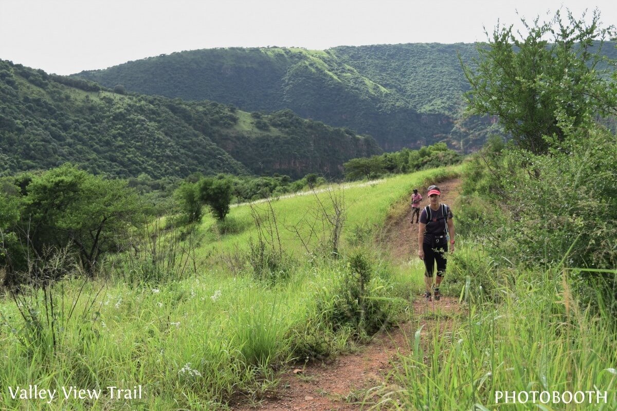
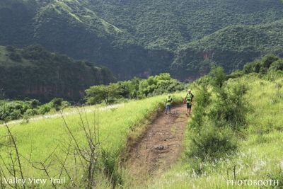
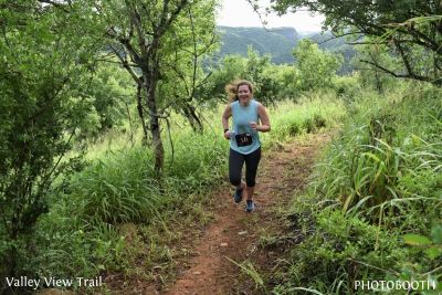
Umkomaas Valley Trail Run – A Wild Return
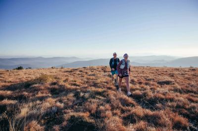
The Umkomaas Valley is raw, rugged, and beautifully untamed. Thick bushveld, red cliffs, and the Umkomaas River winding below set the scene for a truly wild trail experience.
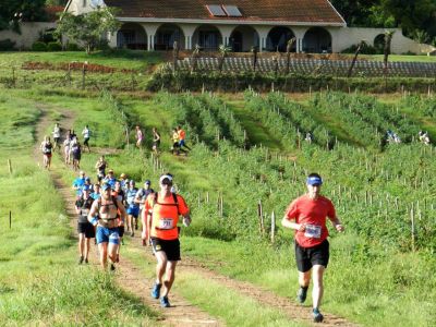
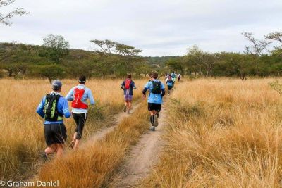
The routes flow through farm roads and purpose-built singletrack, passing through orchards, forest sections, and open areas before bringing runners back to the finish, where a refreshing dip in the river and relaxed post-race vibes await.
Last hosted in 2020, this long-awaited return brings back a course once described as “the ultimate.” The Medium and Long routes climb to the ridgeline, rewarding runners with sweeping views over a natural amphitheatre, the Umkomaas River below, and the rolling hills beyond.
Expect a course that’s as challenging as it is captivating — classic KZN trail running at its best.
The Umkomaas Valley is raw, rugged, and beautifully untamed. Thick bushveld, red cliffs, and the Umkomaas River winding below set the scene for a truly wild trail experience.
The routes flow through farm roads and purpose-built singletrack, passing through orchards, forest sections, and open areas before bringing runners back to the finish, where a refreshing dip in the river and relaxed post-race vibes await.
Last hosted in 2020, this long-awaited return brings back a course once described as “the ultimate.” The Medium and Long routes climb to the ridgeline, rewarding runners with sweeping views over a natural amphitheatre, the Umkomaas River below, and the rolling hills beyond.
Expect a course that’s as challenging as it is captivating — classic KZN trail running at its best.

You might also like

Back to all events
Map data © OpenStreetMap contributors
• Tiles © OpenMapTiles
• Style © OpenFreeMap
• Map engine © MapLibre