Trail Running
by KZN Trail Running
WESSA Trail Run 2026
Part of the Wessa series
Sun 10 May 2026
Howick, KwaZulu-Natal
5.0
(2)
3 races
6–21 km
Date
10 May 2026
Registration
Closed
Races
3 races
from R135
Available Races
Short Course
6km
R135.00
Medium Course
13km
R195.00
Distance
12.9 km
Elevation gain
399 m
Elevation loss
399 m
Long Course
21km
R230.00
Distance
20.55 km
Elevation gain
746 m
Elevation loss
746 m
About this event
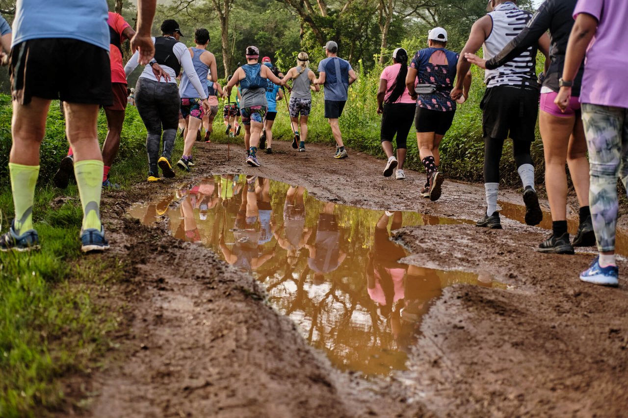
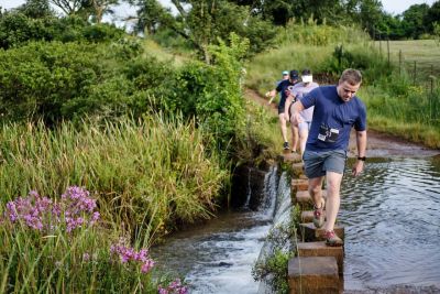
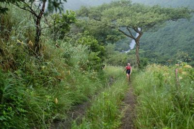
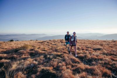
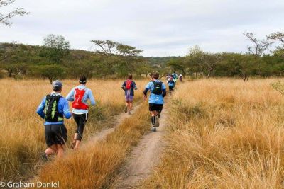
Experience the untamed beauty of Howick at the WESSA Trail Run, set within a stunning 900-hectare nature reserve. This unforgettable course winds through rolling grasslands, dense thickets, forests, and lush valley bushveld, revealing the remarkable diversity of the uMngeni Valley. Along the way, runners are treated to sweeping vistas, dramatic cliffside sections, cascading waterfalls, and distant glimpses of the iconic Albert Falls.
The route delivers a true trail-running adventure, moving across open plateaus, steep inclines, valley floors, and twisting paths, blending flowing singletrack with rugged dirt roads. Designed to challenge seasoned runners while remaining accessible to newcomers, the terrain keeps every kilometre engaging and rewarding.
As you journey through this natural haven, watch for the wildlife that calls the reserve home — from graceful zebra and giraffe to antelope species such as blesbok, impala, nyala, bushbuck, and blue wildebeest. More than just a run, the WESSA Trail Run offers an immersive adventure through one of Howick’s most spectacular and ecologically rich landscapes.


Reviews
5.0
(2 reviews)
M
Mariagrazia Galimberti
Did the Long Course in 2026
5.0
The route was tough but beautiful, I really enjoyed it, but 21km that became 25km was quite a struggle, I think it would be better to advertise the route as 23-24km, one always takes into account 1-2km extra, but 4km are quite a lot. Well done on the organisation and on the marking of the route
R
Ruth Armitage
Did the Medium Course in 2026
5.0
You might also like

Back to all events
Map data © OpenStreetMap contributors
• Tiles © OpenMapTiles
• Style © OpenFreeMap
• Map engine © MapLibre